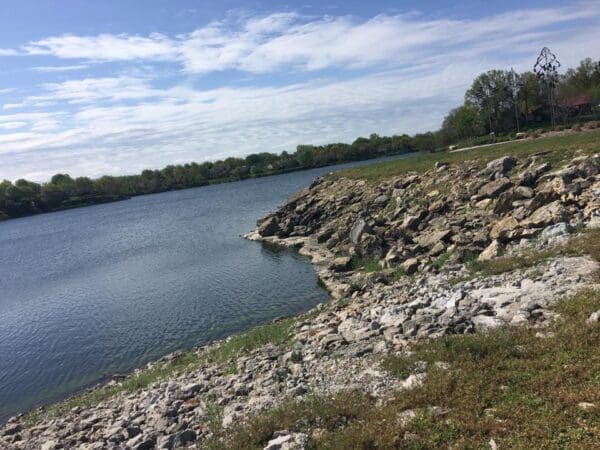
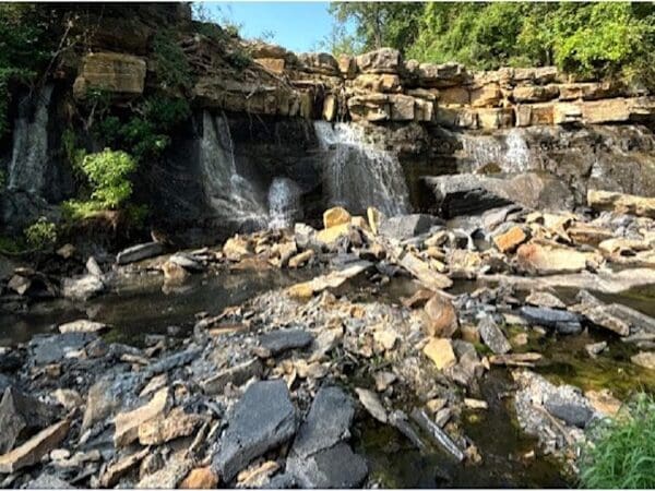
The Dam Spillway is One of Our Biggest Geological Structures to Maintain.
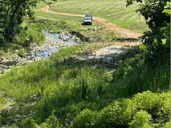
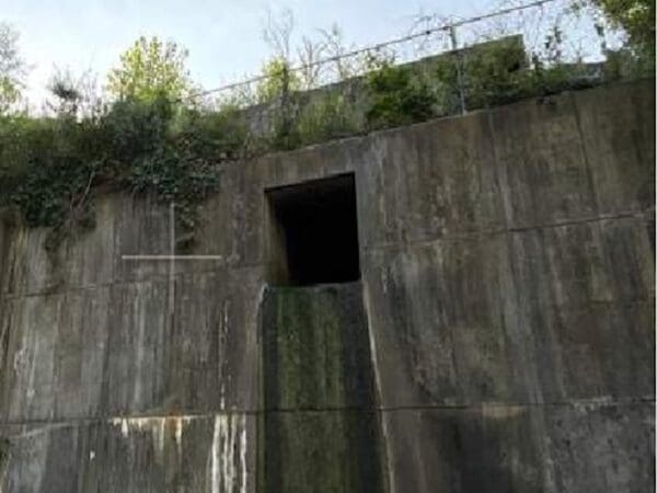
Located at “The Rock” on the north end of West Lake, the Dam Spillway must be carefully monitored and maintained in perpetuity.
The Dam Spillway is located under the Lakewood Boulevard Bridge on West Lake. The spillway, along with both dams on Lakewood Boulevard, are the complete responsibility of the LPOA.
These geological [spillway] and man made [dam] structures are not maintained by the City of Lee’s Summit. Only the Bridge and Bridge Supports at the spillway are maintained by the City of Lee’s Summit.
If these structures need repair now, or decades in the future, it will always be the responsibility of the LPOA to maintain them structurally and to prepare reserve funding to manage structural corrections.

Emergency Action Plans
Annual Dam Inspection Reports
Transparency Report – Dam Spillway Report 1973-2017
The History of the Dam Spillway Project
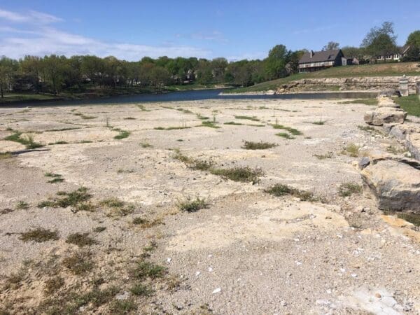
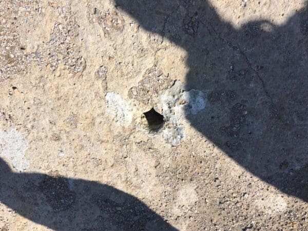
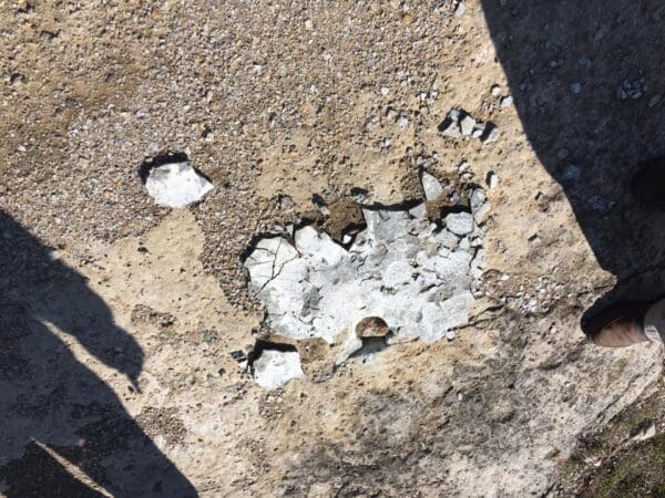
In 2012 we suffered a major drought, which escalated an ongoing dam spillway leakage problem that had been steadily increasing over decades. The water level was so low that many of the coves in the lake became dry dirt, accessible to walk across. Additionally, many boats and docks in the marinas were impacted by hitting the ground.
During this time, the spillway seepage was at an alarming rate of 4000 GPM (Gallons per minute), and needed to be reduced to an ideal rate of 100 GPM. This article is to track the steps of repair that began in 2013. No work had previously been done on the spillway from its inception in 1973 thru 2013.
Phase One - Completed in 2013
Major improvements were made to the spillway by means of a grout curtain across the entire spillway. The water seepage was reduced from 4000 GPM (gallons per minute) in 2013, down to just 750 GPM during April 2017. Cost: $537,000.

Thursday Nov 13, 2013

Tuesday Nov 18, 2013
Flow was reduced by 73%, from 4000 GPM down to 750 GPM (gallons per minute)!
Phase Two - Underway in April 2017
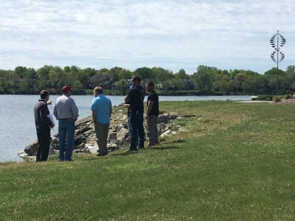
A three-man professional dive team went into the water during April 2017 to inspect and videotape the interior (lake side) face of the limestone formations at the spillway or what Lakewood Residents refer to as “The Rock”.
With the implementation of Phase Two, the goal is to reduce seepage through the limestone down to a final acceptable rate of 100 GPM. The mission was to try to find the lower pressure inlet of lake water in the face of the Limestone.
This can lead to a simple and economical fix to block the inlet. If we are unable to locate the inlet(s), then we will commence with the final grouting as planned to seal off the seepage. Cost: $75,000.
Annual Dam Inspection Reports
Annual Dam Inspection Reports are conducted annually for Lakewood East and West Dams, and are required to meet the Missouri Department of Natural Resources regulations regarding ownership and operation of the two dams.
Long Term Financial Responsibilities
These structures are not included in current Reserve Study Report recommendations, because they are outside the scope of the reports. It’s imperative that our financial strategies independently include long term planning for the maintenance of the spillway and the two dams.
There is no insurance provided for a geological structure like this, so if there were ever a significant catastrophic event (earthquake, etc), and the dams were impacted, the solution would likely include some type of assessment (one time or recurring charge) to Lakewood residents in order to address the emergency.
Regarding long term planning, it’s important to understand that the life cycle of the dams may be another 30-50 years from now (around 2050), and it may be in the $10’s of millions to repair or replace. So it’s imperative that we are cognizant of this long term planning for the next generation of families in Lakewood.